Beyond GPS: Your Step-by-Step Guide to Understanding Global Navigation Satellite Systems
Introduction
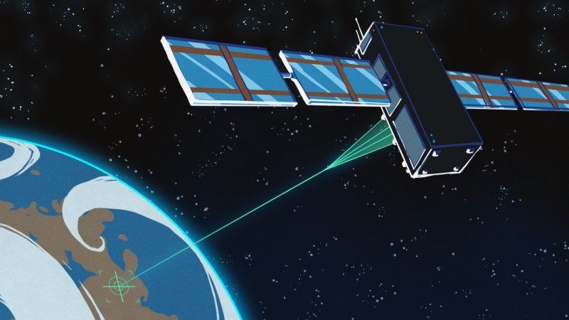
While the Global Positioning System (GPS) has become nearly synonymous with satellite navigation, it's far from the only system in the sky. Developed by the U.S. military in the 1970s and later adopted by civilians worldwide, GPS powers everything from smartphones to logistics. However, other nations have developed their own systems to maintain independence and improve coverage. This guide walks you through the key alternatives—GLONASS and BeiDou—and shows you how to appreciate the global network of positioning satellites.

What You Need
- A device that supports multiple GNSS (e.g., a modern smartphone with location settings showing "GPS + GLONASS" or "BeiDou")
- Basic familiarity with how satellite navigation works (satellites, signals, triangulation)
- Curiosity about global technology and geopolitics
- Internet access (optional) to check current constellation status
Step-by-Step Guide
Step 1: Understand GPS’s Dominance and Its Limitations
GPS was the first fully operational Global Navigation Satellite System (GNSS), reaching initial capability in 1993. It uses 24 satellites orbiting at about 20,200 km (12,600 miles) in six orbital planes. While it provides global coverage, its accuracy can degrade in dense urban areas, under tree cover, or at high latitudes. Recognizing these limitations is the first step to appreciating why other systems exist.
Step 2: Explore Russia’s GLONASS System
The Soviet Union initiated GLONASS in the 1970s, with the first satellite launched in 1982. It operates at a slightly lower altitude (19,100 km / 11,900 miles) and a higher inclination than GPS, making it especially effective in northern latitudes—a smart design for Russian territory. GLONASS requires 24 satellites for full global coverage; Russia maintained 18 for regional service. After the USSR’s collapse, the constellation dwindled to just seven operational satellites by 2001. However, under President Vladimir Putin, GLONASS was revived with new satellites and regained global coverage in 2011. Spares and replacements have been launched consistently, with the most recent in September 2025. Modern smartphones and GPS receivers often combine GPS and GLONASS for improved accuracy and reliability.
Step 3: Discover China’s BeiDou Navigation Satellite System
Unlike GPS and GLONASS, BeiDou began as a regional system. Its first generation (BeiDou-1) used only four satellites in geostationary orbit at an altitude of about 35,786 km (22,236 miles) to cover China and nearby countries. From an observer in China, the satellites appear fixed in the sky, simplifying calculation. Later iterations, especially BeiDou-2 and BeiDou-3, expanded to global coverage using a mix of geostationary, inclined geosynchronous, and medium Earth orbit satellites. Today BeiDou provides worldwide positioning, navigation, and timing services, and is integrated into many consumer devices. Its unique geostationary component gives it an edge in Asia for high-precision applications.
Step 4: Recognize the Growing Network of GNSS Systems
While the original article focuses on GPS, GLONASS, and BeiDou, it's important to note that other nations have also launched systems: the European Union’s Galileo, Japan’s QZSS, and India’s IRNSS (NavIC). Each system adds redundancy and tailored coverage. Modern receivers can often combine signals from multiple GNSS constellations for faster fixes and better accuracy, especially in challenging environments.
Tips for Maximizing Your Use of Multiple GNSS
- Check your device settings: On most smartphones, you can enable "High accuracy" mode to use GPS, GLONASS, BeiDou, and others simultaneously. This improves location speed and precision.
- Understand the coverage trade-offs: If you frequently travel to high latitudes (e.g., Scandinavia, Canada, Russia), GLONASS will outperform GPS. For Asian regions, BeiDou may offer better reliability. Galileo excels in Europe.
- Keep software updated: Satellite constellation data (almanacs and ephemeris) are updated regularly. Ensure your device’s location firmware and apps are up to date for optimal performance.
- Use specialized apps: Apps like GPS Status & Toolbox or GPSTest can show which satellites you’re connected to and their signal strengths, letting you visualize the multi-GNSS ecosystem.
- Remember the historical context: The development of these systems is tied to geopolitical and strategic needs. Understanding this helps you appreciate why your phone can pinpoint you anywhere on Earth.
By following these steps, you’ll gain a deeper appreciation for the global infrastructure that powers modern navigation—and you’ll be better equipped to choose the best system for your needs.